When internet explorers first spotted a pitch-black, triangular void in the middle of the Pacific Ocean on Google Maps, the theories went into overdrive. Even as we move through late 2026, this image continues to circulate on social media platforms, with many users questioning if it is a government-censored military base or some sort of geological anomaly. The truth, however, is far more fascinating than any conspiracy. This is the story of Vostok Island, a remote, thriving ecosystem that simply looks different from the sky.
The Viral Phenomenon: Why the Pacific Looks Like a Void
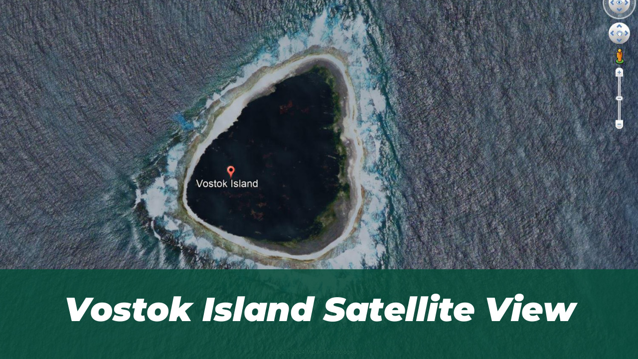
The “Black Hole” of the Pacific became a viral sensation because it defied the typical blue and white aesthetic of ocean satellite imagery. To the average user, the dark, triangular shape appeared to be a digital glitch or a redacted area meant to hide something sinister. By 2026, high-resolution satellite updates have confirmed that this is not a hole in the Earth, but a dense, living forest that absorbs light so efficiently it appears black from space.
Unmasking Vostok Island: Geography and Location
Located roughly 4,000 miles east of Australia, Vostok Island is a small, uninhabited atoll belonging to the Republic of Kiribati. Discovered in 1820 by Russian explorer Fabian Gottlieb von Bellingshausen, the island was named after his flagship, the Vostok. Despite being mapped for over two centuries, its extreme isolation keeps it off the radar for most travelers, leaving it as a pristine laboratory for marine biologists. Much like the scientific investigation into environmental phenomena in urban centers, the study of Vostok helps us better understand how isolated ecosystems respond to global changes.
The Science of the “Black Hole”: Decoding the Pisonia Canopy
The secret behind the “black” color lies in the Pisonia grandis trees. These trees grow in an incredibly tight, interlocking canopy that leaves almost no room for sunlight to reach the forest floor. From a satellite’s perspective, the lack of reflected light creates a deep, dark silhouette that contrasts sharply with the turquoise reefs surrounding the island. It is a natural camouflage, not a digital blackout.
Beyond the Satellite: A Diver’s First-Hand Account of the Uninhabited Atoll
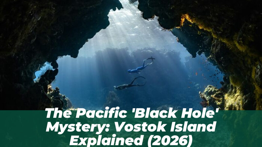
Professional diver Enric Sala, who led a National Geographic expedition to the island, describes the reality far beneath the canopy as the exact opposite of a “void.” He noted that the surrounding waters are among the most vibrant he has ever encountered. In 2026, marine conservation reports confirm that the island remains a sanctuary for sharks, barracuda, and diverse surgeonfish, thriving because of its total lack of human interference.
Debunking the Censorship Myths: Why Google Maps Isn’t Hiding Secrets
Reddit threads often claim that Google “blacks out” sensitive locations. However, Vostok Island is not a clandestine military base. The dark imagery is simply a result of the satellite’s inability to penetrate the dense foliage of the Pisonia forest. There is no government redaction here only a dense, undisturbed natural habitat that remains one of the most secluded places on the planet.
Clearing the Confusion: Vostok Island vs. Other Pacific Mysteries
It is vital to distinguish Vostok from other Pacific enigmas. Often, search trends conflate Vostok with the search for Amelia Earhart’s wreckage on Nikumaroro Island. While Nikumaroro remains a subject of intense historical investigation and 2026 forensic satellite imaging, Vostok is a purely ecological mystery. Understanding this distinction is key to navigating the facts of Pacific geography.
The Ecological Significance of Vostok in 2026
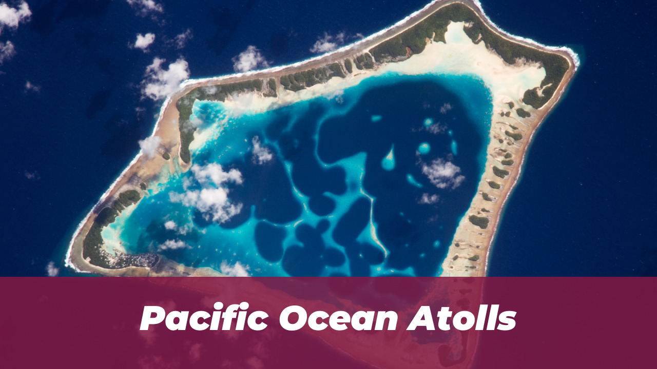
As of 2026, Vostok Island serves as a critical benchmark for climate and marine studies. Its isolation allows scientists to observe how ecosystems function without the pressures of modern human development. Protecting this “Black Hole” is not about hiding secrets; it is about preserving one of the last truly wild places in the Pacific.
For those interested in how modern technology captures such remote data, checking the latest AI and security features in mobile devices highlights how far our imaging capabilities have come in just a few short years.
Final Verdict: Nature’s Illusion Over Conspiracy
The mystery of Vostok Island is a perfect example of how digital tools can sometimes distort our perception of the physical world. What appears as a dark, suspicious void on a screen is, in reality, a lush, thriving forest and a testament to nature’s resilience. As we continue to explore the globe via satellite in 2026, it serves as a reminder to look past the pixels and appreciate the complex biology that defines our planet.
Vostok Island Quick Facts
| Feature | Description |
|---|---|
| Location | Republic of Kiribati |
| Primary Vegetation | Pisonia grandis (Dense Forest) |
| Discovery Year | 1820 |
| Status | Uninhabited / Nature Sanctuary |
| Satellite Appearance | Dark/Black due to light absorption |
Pros & Cons of Remote Exploration
- Untouched Ecosystems: Provides a rare baseline for scientific studies on how flora and fauna evolve in total isolation.
- Vital for Climate Research: Offers uncontaminated data on reef health and forest growth patterns in the central Pacific.
- Biodiversity Sanctuary: Acts as a protected breeding ground for various marine and avian species that are otherwise threatened by human activity.
- High Difficulty of Access: The lack of landing strips or deep-water ports makes it nearly impossible for casual visitors to reach.
- Emergency Infrastructure: There are no medical facilities, communication outposts, or rescue services, making any expedition inherently high-risk.
- Extreme Isolation: The distance from major landmasses means that even minor logistical errors can lead to dangerous situations for researchers.